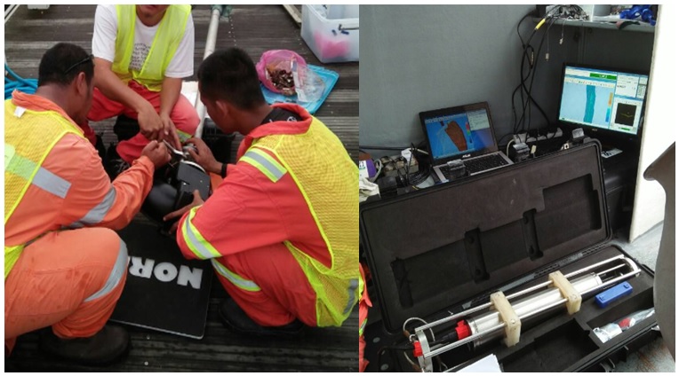
project
Few of our experience
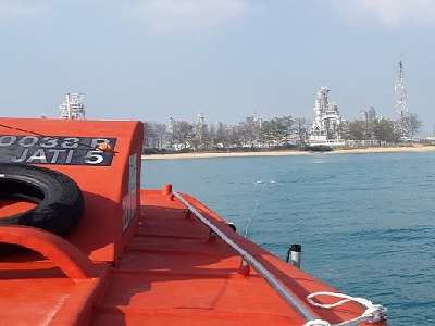
HGIS/GOM/PCSB
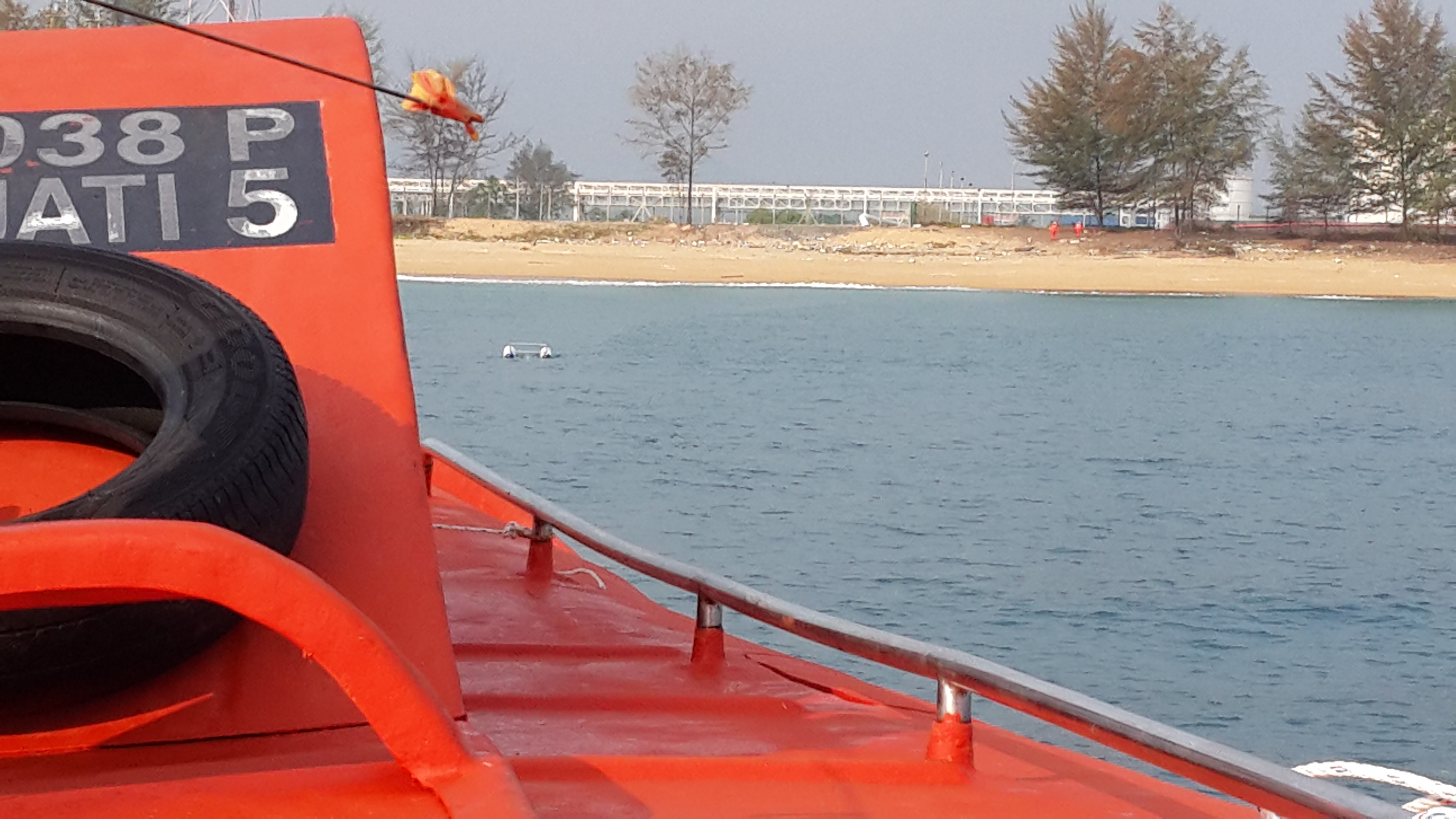
TCOT – EVA shore approached, Kertih
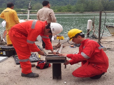
HGIS/PCSB
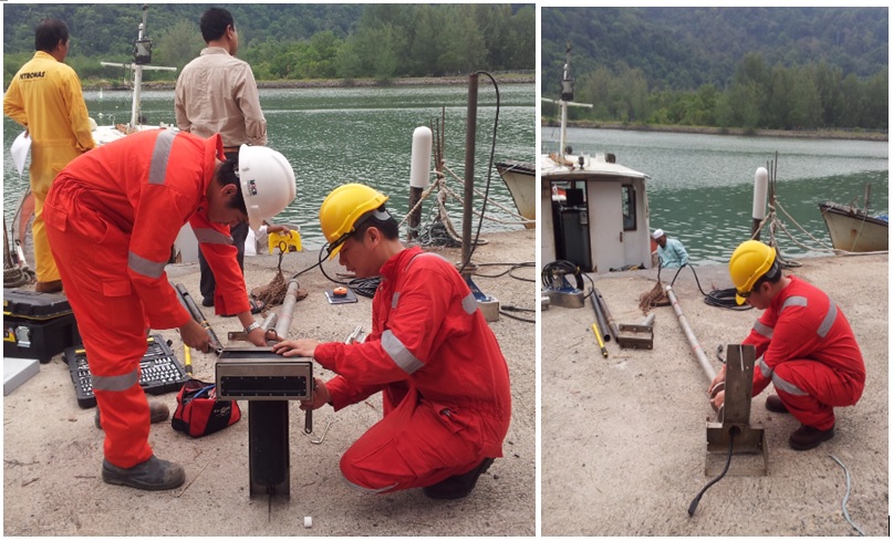
Rock Layer Protection along ANDRA-TCOT 24” Pipeline, Kertih

IFactor/PCSB
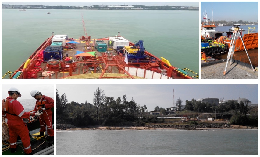
Pre Installation Near Shore Survey For Subsea Fiber Optic Cable, SK316 Development Project
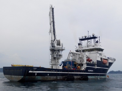
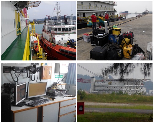
Deepocean/Tecnip/SSPC
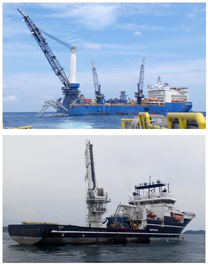
Malikai Field Development Project - Package B: Transportation, Installation And Pre Commissioning Of Pipeline From MLK To KBB Inclusive Of SCRS
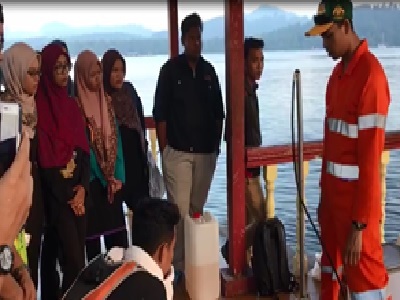
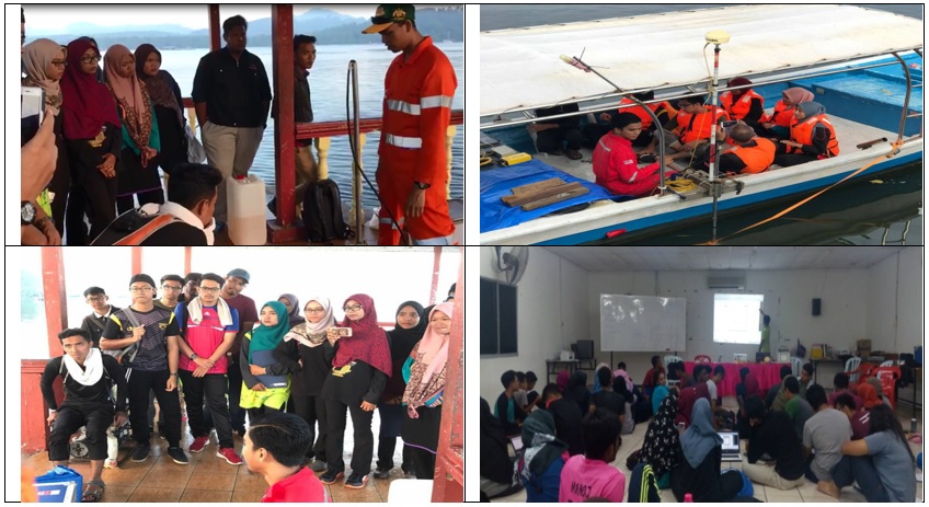
Politeknik Sultanah Bahiyah
Hydrosurvey Camp 2016
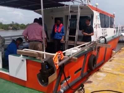
Lembaga Pelabuhan Kelang
Kerja Kerja Membekal, Menghantar, Memasang, Menguji Dan Mentauliah 'Portable Multibeam Echosounder System Sebut harga No. LPK/04/04/2016
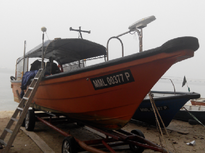
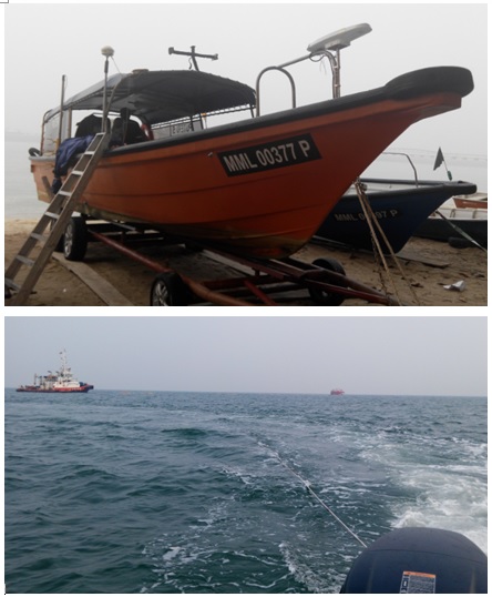
TASB / Petronas Penapisan Melaka
Debris Survey Work

TASB / Petronas Penapisan Melaka
AWB Setia Station 1 and Setia Padu Positioning works
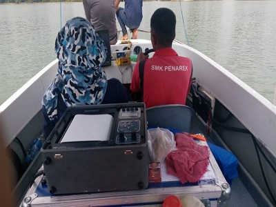
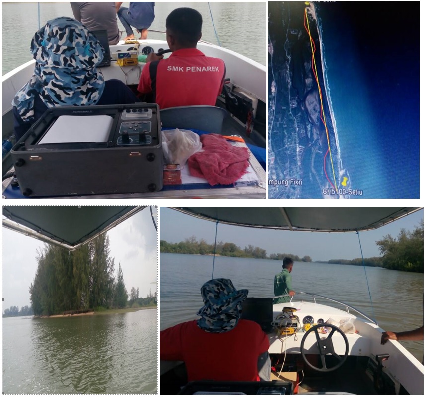
Jabatan Pengaliran dan Saliran
Provision of bathymetry survey along Sg Setiu
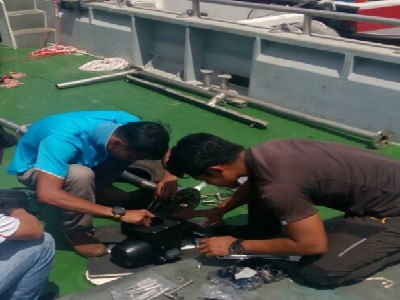
GHOSB/Pusat Hidrografi Nasional
Provision of technical support for installation and commissioning of Norbit Multibeam System onboard Sri Perkasa 81. Navigation Chart Update, Port Dickson

Petroseis Sdn Bhd
Provision of technical support for installation and commissioning of Norbit Multibeam System onboard Coral Island. Penang Reclamation Project
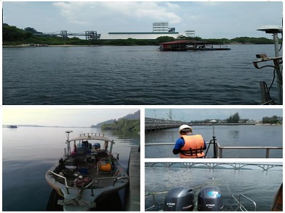
Lumut Maritime Terminal
Provisional of hydrographic and topographic survey services
About
-

2012-2014
Our Humble Beginnings
Started as Sole Proprietor company named as EJ Geo Services. We are works hard to secure projects and establish trust from our clients
-
March 2015
The Company is Born
Spectrum Geomatic Solution Sdn Bhd interoperated as a private limited company under the Company Act 1965. We are specifically established to meet the growing demands for training, consultancy and seabed mapping services focusing to the coastal and land fall area with our in house expertise and equipment
-
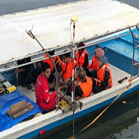
2016
Hydrographic Survey Training Consultant
Appointed as Hydrographic Survey Training provider to higher learning institution and government agency
-
2017
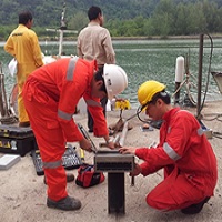
Executing Survey, GIS and IT Project
Executing seabed survey, barge positioning and consultancy for various client in and outside Malaysia
-
2018
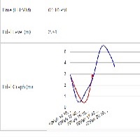
Water Level Management System
Water Level Management System was invented by R&D team. It using the wireless concept to transmit water level measured by sensor to server. Data is stored inside a structured database and users will be able to access the water level information by a web based user interface. The information shown on the web is real time and user can download the water level data by doing data query.
-
Be Part
Of Our
Story!
We are registed to








Career
Spectrum Geomatic Solution Sdn Bhd is continues looking for competent and motivated team members are ready for new challenge
Currently we have vacancy for the following roles:
Junior Surveyor / Trainees
Junior Data Processor
Please send your C.V to info@spectrumgeomatic.com
Contact Us
Spectrum Geomatic Solution Sdn Bhd
PT 12897-B, Jalan BBN 1/7F Putra Indah, Pusat Bandar Putra Nilai, 71800 Negeri Sembilan, Malaysia
E : info@spectrumgeomatic.com HL: +60 6 850 0340